Special Collections and Archives > University Archives > Building Cal Poly

Place has always been central to Cal Poly’s identity. Since the first 281 acres of ranch lands were purchased in 1902, Cal Poly’s mission and signature learn-by-doing philosophy have shaped the campus and the facilities that support its educational programs.
In its over 100-year history, Cal Poly has never been a fixed landscape. Through the actions of administrators, students, faculty, alumni and the broader community, the campus has constantly evolved, expanding to over 10,000 acres today.
Records from the University Archives capture the opportunities, challenges, and decisions that shaped the development of campus. The archives bridge time, revealing that all students share common spaces and experiences. The records reveal tension between preserving the historical campus while planning for a future that not only reflects but also produces innovation. By exploring this history, we can recognize the central role of the land and the built environment in constructing Cal Poly’s unique identity.
Image: Aerial view of campus, circa 1963
1902: Selecting the Site
Choosing Cal Poly’s home
Sixteen sites were offered for the newly established California Polytechnic School. The Dawson Lowe property on the outskirts of San Luis Obispo was selected. This early agreement was drawn up to promise the land to Cal Poly. Lowe and the Cal Poly Trustees eventually settled on an area of 281 acres at the price of $7,709.03.

[Hand-drawn map of the Dawson Lowe property and adjacent properties, probably March 1902] 0005_ua_000002-001 https://digital.lib.calpoly.edu/rekl-93358
Trustee H.A. Hihn met with Lowe and was probably involved with creating this hand-drawn map of the property and the adjacent ranches. He includes features that were a major draw: the adjacency to the Southern Pacific Railroad, Brizzolara Creek, a road connecting to San Luis Obispo, and prime agricultural land at the base of the foothills. In a letter that accompanied the map, Hihn wrote:
The neighborhood is clean, and so far as we can judge, less windy and less frosty than many of the other locations offered. We sampled some of the oranges which we picked from Mr. Lowe’s grove on this land. They were the best we saw in the valley and though not equal to the best Riverside oranges, they are good marketable oranges.
Cal Poly would later acquire the C. H. Johnson property also included on this map.
See also: Agreement to sell property, Dawson Lowe, March 1902
Developing the California Polytechnic School, 1903–1933
[Looking west from the Cal Poly hills, circa 1913]

[Panorama looking west from the Cal Poly hills, circa 1913], Attributed to Frank Aston, contact print from Cirkut panorama camera, University Archives Photograph Collection. ua-pho_00000831.
A rare view looking at the “backside” of early campus. Six main buildings and eleven agricultural outbuildings are the extent of the facilities, located about 1.5 miles north from the center of the City of San Luis Obispo. The only entrance to campus runs alongside the railroad tracks on California Street.
Only the Power House, built in 1909, still stands on campus. Can you find the tiny palm trees planted in 1909 that still line California Street today?
[Harvesting barley on the C.H. Johnson ranch, Administration Building under construction, circa 1903]
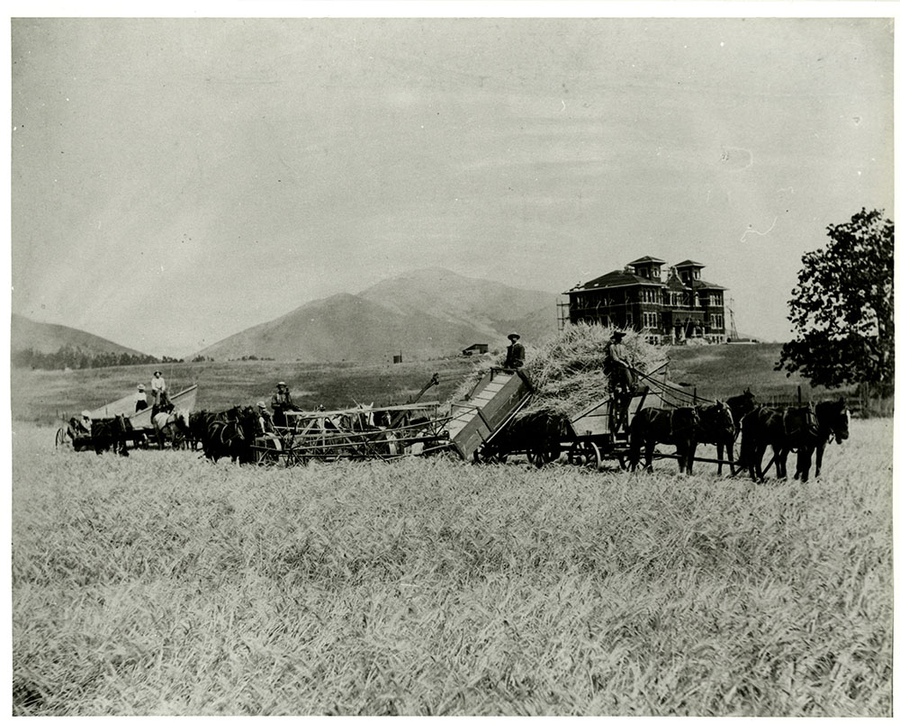 ua-pho_00000964 digital.lib.calpoly.edu/rekl-4903
[Administration Building and Boy’s Dormitory, circa 1905]
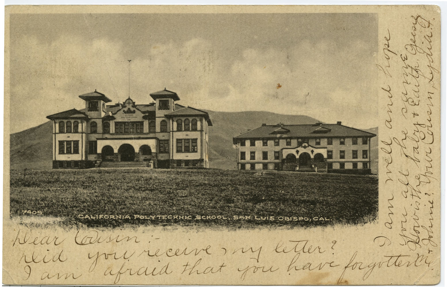
ua-ast_00000073
digital.lib.calpoly.edu/rekl-3327 ua-ast_00000073
[Administration Building, Boy’s Dormitory, and Household Arts Building, circa 1909]
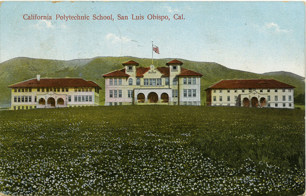
ua-ast_00000074
digital.lib.calpoly.edu/islandora-90 ua-ast_00000074
Designed by William H. Weeks, these three buildings housed the majority of campus administrative, living, and class spaces. Each building had two stories and included a basement. Weeks also designed the Carnegie Library and San Luis Obispo High School.
University Archives Photograph Collection and Aston Postcard Collection
Catalogue of the California Polytechnic, 1926 – 1927
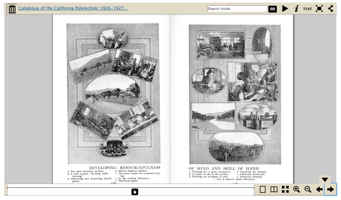
digital.lib.calpoly.edu/rekl-80962
6th Annual Poly Royal Program, 1938
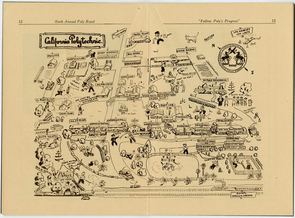 Edward R. Wiley, an Air Conditioning student at Poly, drew this humorous map of the campus for the annual open house. President McPhee, at Cal Poly since 1933, was instrumental in obtaining state support and funds for the school, which had weathered a severe crisis from 1917 to 1933. The map depicts a number of buildings that were added between 1927 and 1938, including four new residence halls, more engineering and agriculture facilities, and the President’s House. Can you find President McPhee? https://digital.lib.calpoly.edu/rekl-11949
World War II impacts Cal Poly
Map of U.S. Naval Flight Preparatory School, California Polytechnic, San Luis Obispo by R. A. Riley, undated [circa 1944]. ua-sel_00000250 https://digital.lib.calpoly.edu/rekl-6147
During World War II, Cal Poly converted to a naval academic school. This map depicts a campus remapped, where the buildings and street names have been renamed with navy terms.
It is unclear if these names were used officially. The only names from this map that remained in the 1950s were for Buildings 3-9, which were constructed during the war.
Cal Poly expands: 1945–1960
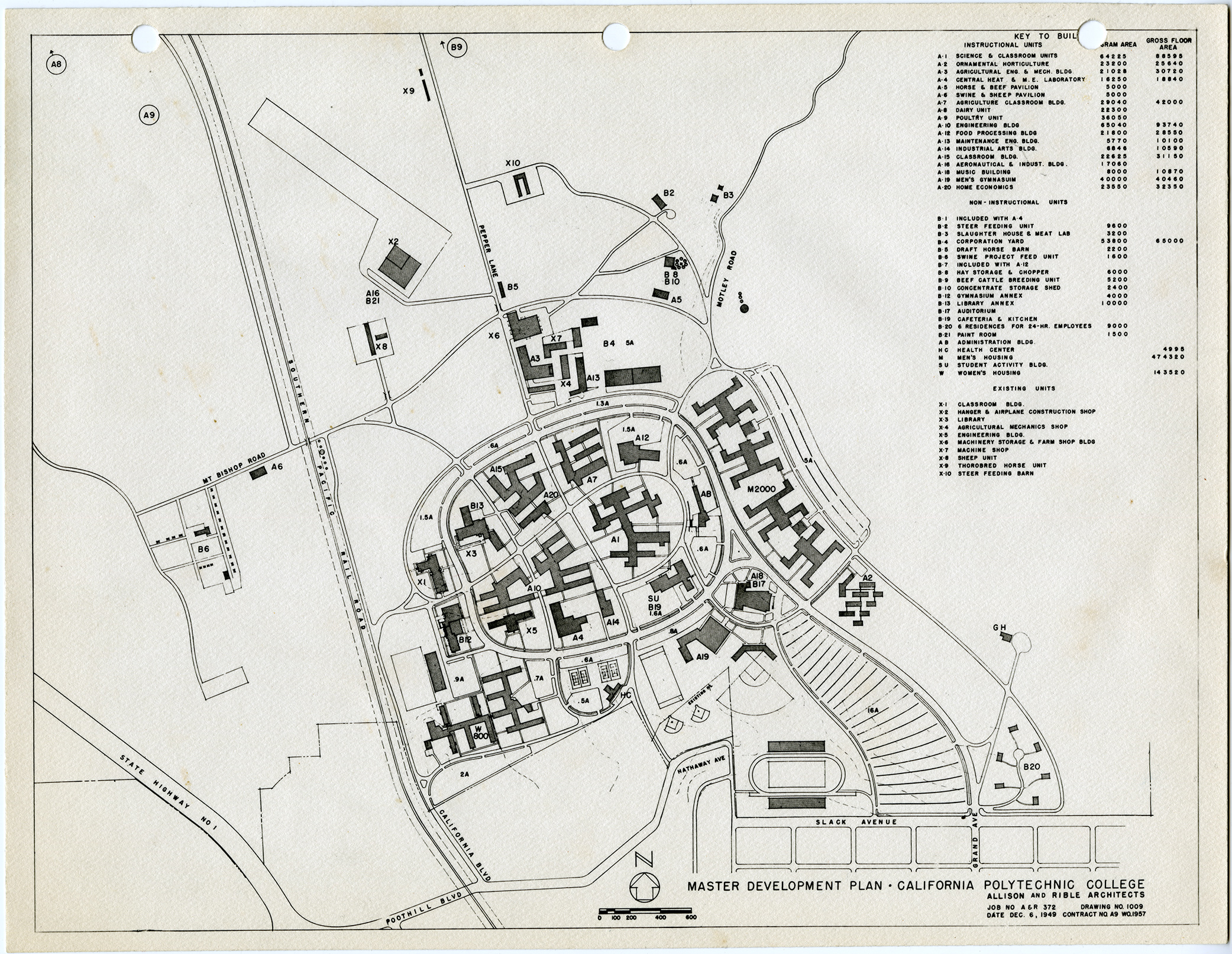
The first Master Plan for Cal Poly was developed as the result of two years of concerted effort of the college in collaboration with the State Department of Education and the Division of Architecture. The plan was based on an anticipated student enrollment of 3,400 students by 1953.
Although many of the buildings the architects proposed did not come to be, the general layout they proposed would be implemented over the course of the next 30 years. Major changes included moving the Administration Building and the dormitories to the west of campus near the recently-completed 101 Freeway, the origins of the Perimeter Road horseshoe, and future plans for enrollment of women students.

Master Development Plan, California Polytechnic College, December 1949. Allison and Rible, Architects.
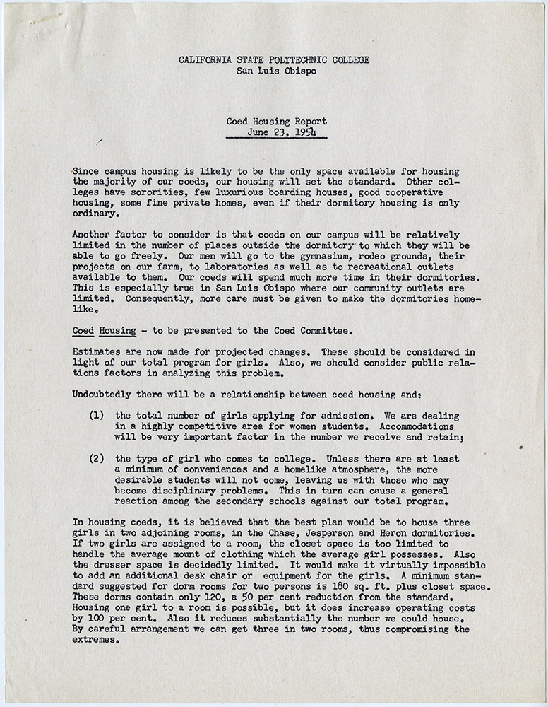
Coed Housing Report
Everett Chandler, June 23, 1954
After women students were no longer allowed to enroll in 1930, all campus facilities were re-appropriated for men. Women visiting in the 1940s and early 1950s commented on the lack of women’s’ restrooms outside of the Administration Building.
Discussions about the re-admittance of women centered on the facilities and programs they would require, as outlined (somewhat optimistically) in this report by Dean of Students Everett Chandler. In his reply to Chandler, President McPhee reflected “Since I have had six daughters at college and I know under what conditions they have to live, I am a little fearful that your proposals are a little lush.” It would take over two years to prepare campus for the return of women in 1956.
Office of the President Julian A. McPhee Papers
Postcards of the Cal Poly campus, circa 1949
University Archives Photograph Collection
Annotated aerial from California State Polytechnic College Proposed Building Program for 1953-54, Cal Poly Master Plans Records
Julian A. McPhee to the State Departments of Education and Finance, January 31, 1950
By 1950, Cal Poly facilities were under immense strain due to over-enrollment after the GI Bill, as captured in this report from President McPhee.
McPhee describes the “hopelessly inadequate… temporary, obsolete, and unsafe buildings now being used as instructional and housing facilities.” This aerial with its annotations capture the critical conditions on campus. McPhee was ultimately successful in his bid for more support, receiving emergency funds to build dormitories.
Numbers 4, 6, and 7 are married student housing. Nearly 30% of the students in 1950 were married.
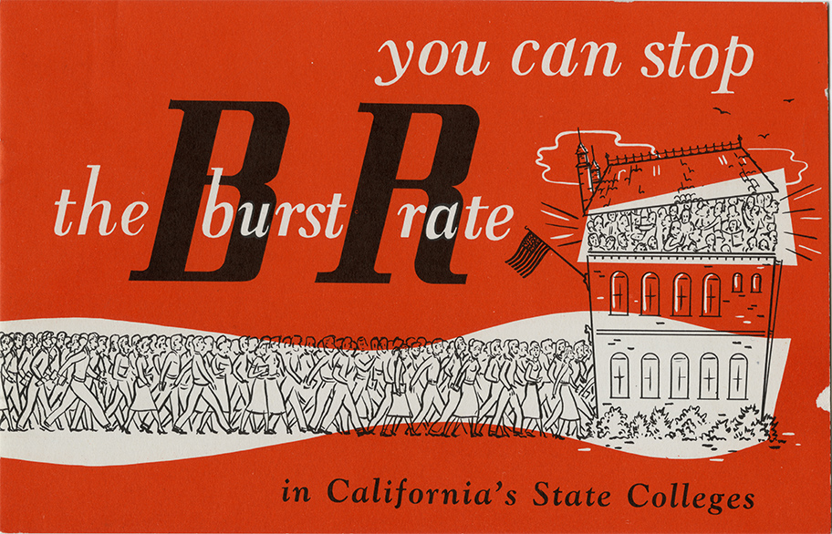
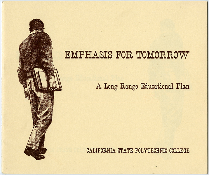
During the 1950s and 1960s, administrators continued to develop a plan that would maintain the original intent of the Cal Poly Enabling Act while preparing for significant anticipated enrollment. McPhee was concerned that the CSU Trustees would change the campus into “another liberal arts college.”
Thanks in large part to McPhee’s long-range planning, captured in these forward-thinking publications, Cal Poly was charted on a course that emphasized occupationally-centered programs in agriculture, engineering, business, architecture, home economics, and allied fields.
You can stop the burst rate in California’s State Colleges, [early 1950s], n.p., Office of the President Special Reports.
Emphasis for Tomorrow: A Long Range Educational Plan, [September 1963], California State Polytechnic College, Office of the President Special Reports.
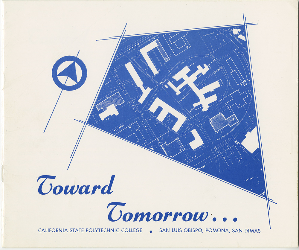
Toward Tomorrow, [early 1960s], California State Polytechnic College, Office of the President Special Reports.
Construction of the Science Building
Opened 1955, Designed by Allison and Rible, who also created the 1949 Master Plan. Early construction on Perimeter Road, the horseshoe around the center of campus, is also visible.
Cal Poly in the 1960s–1970s
Computer Science Building (now the Frank E. Pilling Building)
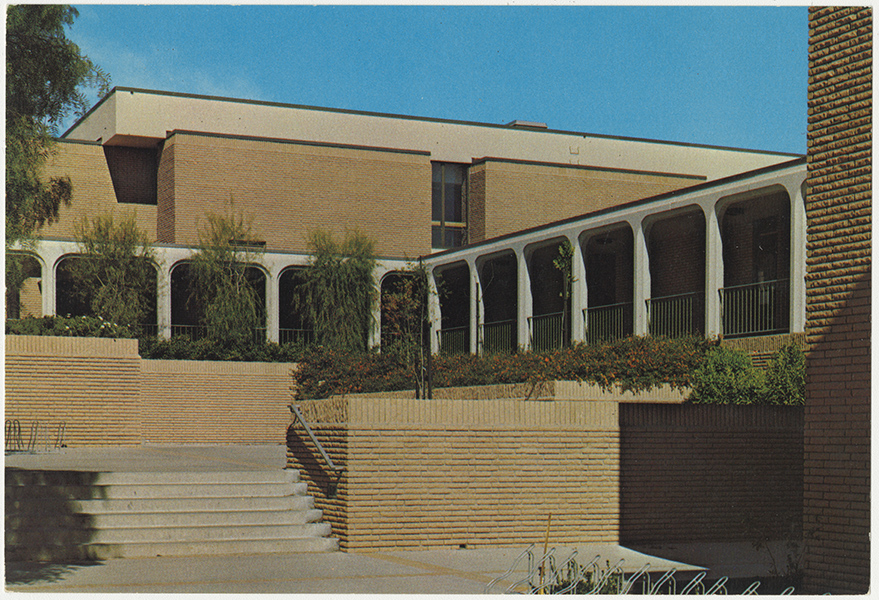
Computer Science Building
Opened 1968, designed by Arendt, Mosher, Grant Architects, Later International Style, one of the many buildings designed for newly established departments on campus.
Administration Building
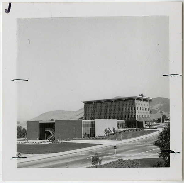
Opened 1963, designed by the State Division of Architecture, the building signified a major shift, moving the administration of campus from the west to the east, adjacent to the residence halls and future student union. The Administration Building, in the Late International Style, was featured on the title block of the student newspaper from 1967 – 1969.
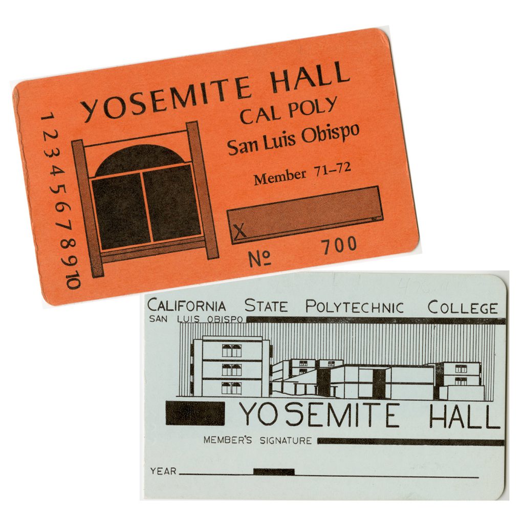
Grand Avenue entrance to Cal Poly and Yosemite Hall, circa 1970
Yosemite Hall Member Cards
Opened 1968, designed by Falk and Booth in the Brutalist style, the 10 towers were considerably different than other dormitories, housing 12 students on each floor and accommodating 600 students total.
Construction of the Architecture Building, 1975
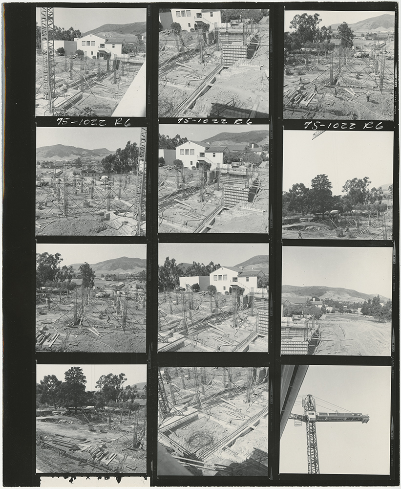
Contact Sheet
Architectural Engineering was first offered in 1946, and department facilities were spread out across campus in temporary buildings and later the Engineering Building. In 1968 the School of Architecture was established (now known as the College of Architecture and Environmental Design).
The building designed for the school is one of several Brutalist buildings on campus, which also include Yosemite and Sierra Madre Halls, Fisher Science Hall, Faculty Offices North, Vista Grande Restaurant (demolished), and the University Union. Brutalist architecture flourished from the 1950s to the mid-1970s, originating from the French word for “raw,” as in “raw concrete.”
University Archives Photograph Collection
Looking west from the Poly P, 1973

Postcard, Philip C. Sterling
Residence Halls in foreground, main academic core in center, and agricultural lands to the right.
Julian A. McPhee College Union Dedication Program, 1971
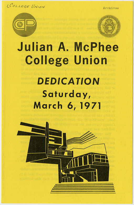
Dedication
The University Union was over 20 years in the making, originating as an idea with President McPhee, who established a fund in the 1940s to finance a new “El Corral” bookstore and college union. Thousands of students, staff, and faculty members were involved in the process. The project was completed in 1971 and dedicated to President McPhee. It is recognized as one of the most architecturally significant buildings on campus.
The architect, Joseph Esherick, said in describing his intention for the union, which stood between the academic core and the residence halls:
“What I tried to do was to work out the student union so that it became an expansion of a street. Instead of trying to get people to go around the building and come into formal entrances, what appealed to me was the idea of having a building that had all sorts of informal, casual ways of coming through. In a way, the building sort of leaked. People would kind of drift through it. Either they would come and stay, or they would just walk through and go out the other side.”
Interview with Joseph Esherick, 1996, Regional Oral History Office, Bancroft Library
Cal Poly in the 1980–2010s
Guide to Campus Accessibility, circa 1981
Since 1972, Facilities has worked to make the hilly campus more accessible. Efforts were initiated by an expected increase in the disabled student population due to an influx of disabled Vietnam veterans applying.
Students and staff coordinators in the Disabled Student Services Club were agents of change on campus. They created this brochure to show areas of accessibility around campus, with symbols for elevators, handicapped parking, ramps, and curb cuts.
Cal Poly Today, Spring 1993
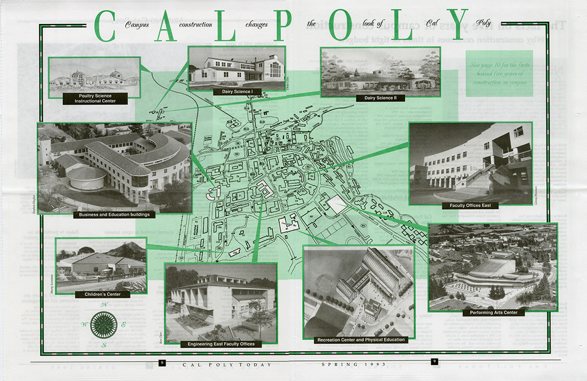
Cal Poly Today
During President Baker’s tenure (1979–2011), campus was physically transformed, with 48 major projects completed. This 1993 alumni newsletter illustrates five years of new construction of new types of buildings. The Performing Arts Center was the result of unprecedented cooperation between Cal Poly, the City of San Luis Obispo, and the Performing Arts Foundation. The Rec Center was funded by ASI student funds and Capital Outlay bond funds.
Utilidor Buttons, 1996-1998
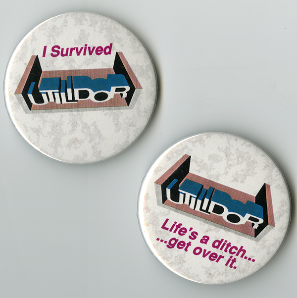
Utilidor Buttons, gift of Rex Wolf.
As part of Cal Poly’s sustainability efforts in the 1990s, the Utilidor project was a $23 million upgrade to the campus heating, electrical, and water systems. The project, dubbed “Utilidor” for the mile-long underground corridor that was built to house the utilities, took two years to complete. As you walk on the sidewalks on Perimeter Road, you are standing on top of the Utilidor. Students and Facilities staff came up with many clever slogans to poke fun at the messy two-year project.
Utility Atlas
Detail printed from digital file, 2017
The Utility Atlas is a complex document that maps the underground systems that support campus. The atlas is maintained and consulted regularly by Facilities to help decide where to dig, color-coded to illustrate gas, electric, telecomm, heating and cooling, water, and the sewer systems.
Courtesy Cal Poly Facilities
Rendering of Cerro Vista and Poly Canyon Village
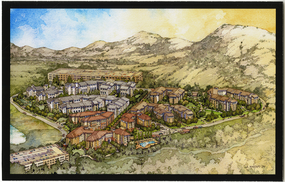
Al Forester, 2007. Digital print of original watercolor
Environmental Impact Reports for campus facilities, 1996 – 2004
Campus continues to expand and adapt with new buildings and major renovations to current structures. The opening of Cerro Vista in 2003 at the northern edge of the campus core was the first residence hall built since 1973. Cerro Vista was followed by Poly Canyon Village in 2009 and the Yakʔitʸutʸu residential community at the south end of campus was opened in Fall 2018.
Acknowledgements
Curator
Laura Sorvetti
Visual Design
Mariahlyn Okuna (ART, 2018)
